Ascent route
Mont Blanc Ascent via the Goûter Normal Route
The Goûter normal route is the most used itinerary for climbing Mont Blanc (4,805.59 m, IGN 2021), accounting for 65 to 70% of annual attempts. It is done over 2 days from Nid d'Aigle (2,412 m) via the Mont Blanc Tramway, with a night at the Goûter Refuge (3,835 m). Grade PD−, requires crampons, an ice axe and prior alpinism experience.
Written by Victor Michel — history enthusiast and passionate alpinist based in Chamonix. Published May 2, 2026 · Updated September 4, 2026 · 16 min read
Quick summary
The Goûter route starts from Nid d'Aigle (2,412 m) via the Mont Blanc Tramway. It climbs to the Tête Rousse Refuge (3,167 m), crosses the Grand Couloir (also known as the couloir du Goûter; rockfall risk passage — mandatory before 7am), climbs the rocky ridge to the Goûter Refuge (3,835 m). The next day, night departure toward the Dôme du Goûter (4,304 m), the Vallot Shelter (4,362 m) and the Bosses Ridge to the summit. Total elevation gain from Nid d'Aigle: +2,436 m.
Key takeaways
- French side, start from Saint-Gervais / Le Fayet (Mont Blanc Tramway)
- Huts: Tête Rousse (3,167 m) and Goûter (3,835 m) — booking mandatory
- Critical passage: Grand Couloir, must absolutely be crossed before 7am
- Key points: Dôme du Goûter (4,304 m), Vallot Shelter (4,362 m), Bosses Ridge
- Elevation gain: +2,436 m from Nid d'Aigle, +1,641 m from the Goûter Refuge
- Grade PD- (Peu Difficile / Slightly Difficult) — requires crampons, ice axe and snow/ice technique
- Total duration: 2 days (Day 1: 5–7 h, Day 2: 4–6 h ascent + 3–4 h descent)
Technical data
- Starting pointLe Fayet / Saint-Gervais-les-Bains → Mont Blanc Tramway → Nid d'Aigle (2,412 m)
- Effective start altitude2,412 m (Nid d'Aigle) — or 1,381 m (Le Fayet) if the tramway is suspended
- Summit altitude4,805.59 m (IGN 2021 — Mont Blanc summit)
- Elevation gain+2,436 m from Nid d'Aigle · +1,641 m from the Goûter Refuge
- One-way distanceAbout 10 km
- Day 1 duration (approach)5–7 h: Nid d'Aigle → Tête Rousse → Grand Couloir → Goûter Refuge
- Day 2 duration (summit)4–6 h ascent (night) · 3–4 h descent
- HutsTête Rousse (3,167 m) · Goûter (3,835 m) — online CAF booking mandatory
- Key passagesGrand Couloir, Goûter Ridge, Dôme du Goûter (4,304 m), Vallot Shelter (4,362 m), Bosses Ridge
- Indicative gradePD− (Peu Difficile) — AD exposure in degraded conditions
- Best seasonMid-June to mid-September · Best: July–August
- SideFrance (Haute-Savoie) — Saint-Gervais side
Detailed Itinerary — Day by Day
Couloir du Goûter — Also known as the Grand Couloir, this is a rock-and-ice couloir at around 3,500 m altitude, on the Aiguille du Goûter, between the Tête Rousse Refuge and the Goûter Ridge — a mandatory passage on the Mont Blanc normal route. Its horizontal crossing measures about 50 m, but the zone exposed to rockfall extends over 200 to 300 m. According to the Petzl Foundation and ENSA, it's statistically the most accident-prone point on the route: the absolute rule is to cross it before 7 am, ideally between 5 and 6.30 am, while the overnight freeze still holds the rocks in place.
3,500 m
altitude of the couloir du Goûter, between Tête Rousse and the Goûter Ridge
Wikidata / Petzl Foundation
50 m
width of the Grand Couloir's horizontal crossing
Petzl Foundation / ENSA
before 7 am
absolute crossing time limit, ideally between 5 and 6.30 am
PGHM Chamonix
Day 1 — From Saint-Gervais to the Goûter Refuge
Mont Blanc Tramway (Le Fayet → Nid d'Aigle, 2,412 m). Departure is from the Le Fayet or Saint-Gervais-les-Bains station. The Mont Blanc Tramway (TMB) drops you at Nid d'Aigle, the starting point of the hike. Plan for the first train (around 7:30am in season). If the TMB is suspended (late winter conditions or closure), you must hike up from Les Houches or Bellevue. Nid d'Aigle → Tête Rousse Refuge (3,167 m) — 1.5 to 2 h. Well-marked trail on mineral and morainic terrain. The climb is steady, with no technical difficulty. Elevation gain: +795 m. The Tête Rousse Refuge (CAF, 160 spots) marks the end of the grassy slopes and the entrance into glacial terrain. It's the last water point before the Goûter. Tête Rousse Refuge → Grand Couloir → Goûter Refuge (3,835 m) — 2.5 to 3.5 h. This is the trickiest section of the day. The Grand Couloir is a rock-and-ice couloir (about 50 m of horizontal crossing) subject to constant rockfall. The crossing is equipped with fixed ropes. Absolute rule: cross before 7am, while the overnight freeze holds the rocks in place. The sun's heat thaws the rocks by mid-morning, multiplying the risk. After the Grand Couloir, the Goûter Ridge (topped by the Aiguille du Goûter, the rocky summit point that gives the ridge its name) climbs over a mix of rock and snow (cables and fixed ropes on the rocky sections) up to the Goûter Refuge at 3,835 m. It's one of the highest staffed huts in Europe (120 spots, booking mandatory on the CAF website from its March opening).
Cross before 7 am, ideally between 5 and 6.30 am, while the overnight freeze still holds the rocks in place. A mountaineering helmet is mandatory, the rope team should already be organised before entering the couloir, and there should be no stopping mid-crossing. According to the Petzl Foundation and ENSA, this is statistically the most accident-prone point on the Mont Blanc normal route.
Book your night at the Goûter refuge — booking calendar opens in March on ffcam.fr →
Day 2 — From the Goûter Refuge to the summit (and back)
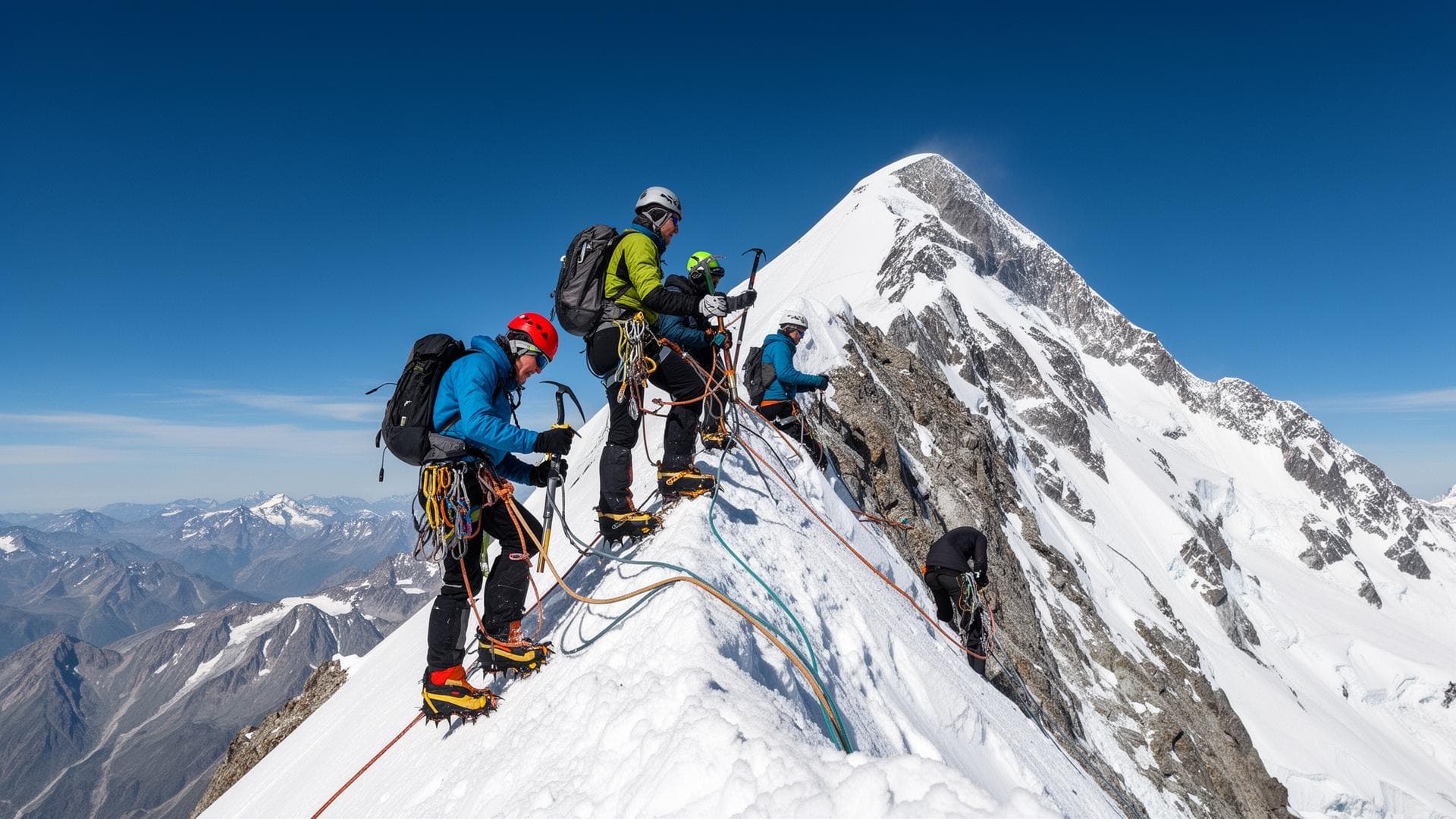
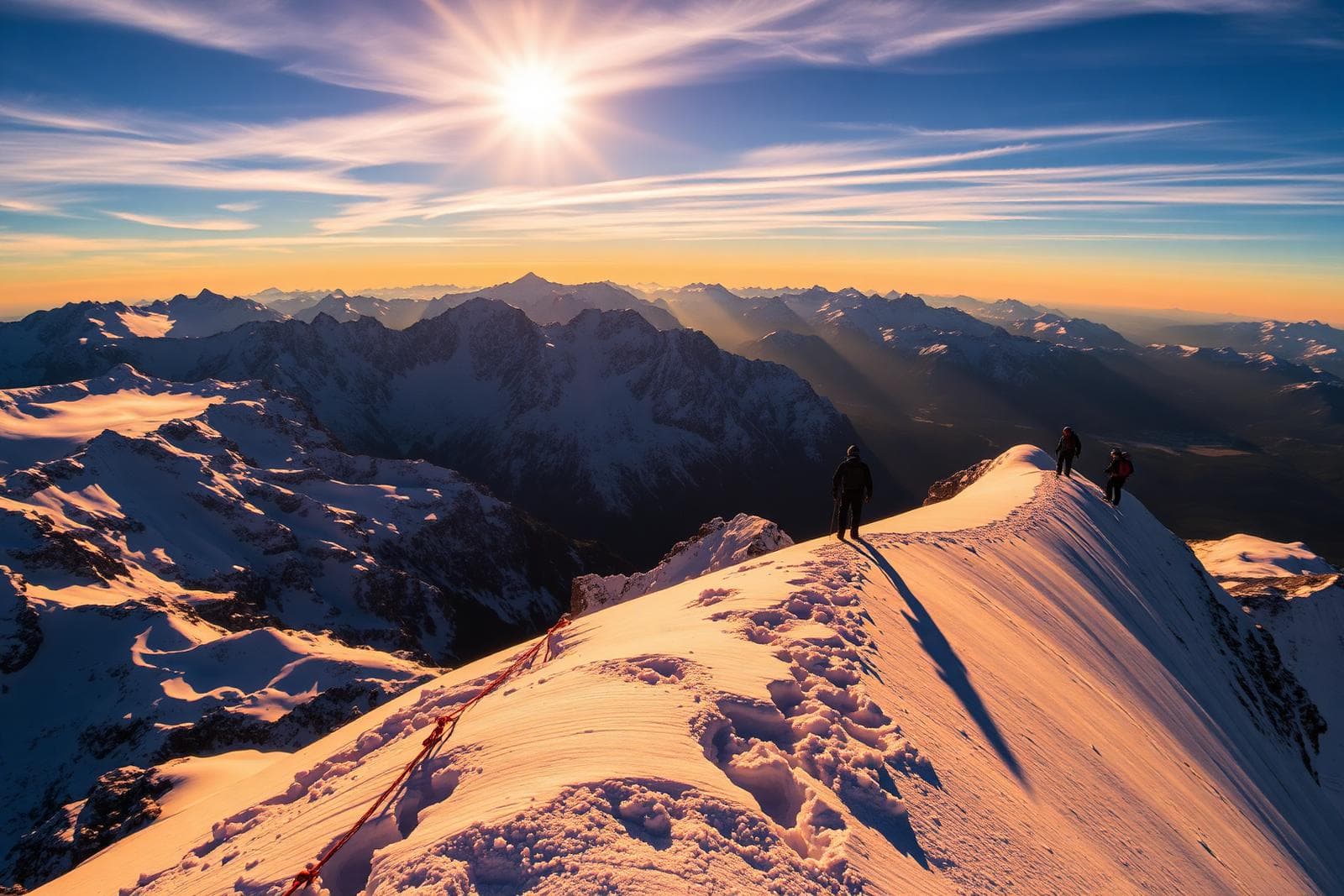
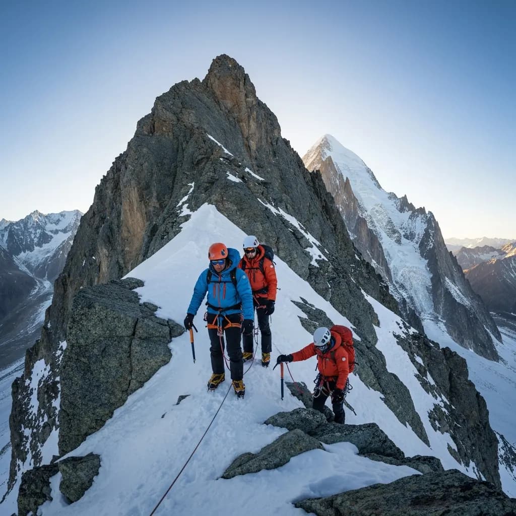
Night departure (between 1:30am and 3am). The priority is to reach the summit and be on the way down before the afternoon winds and the storms frequent in summer. Departure with a headlamp, snowshoes or crampons depending on snow, and roped up. Goûter Refuge → Dôme du Goûter (4,304 m) — 2 to 3 h. Progress is on snow or ice, at a steady grade. The Dôme du Goûter is the tipping point: from its top, you cross over toward the Col du Dôme and can see the line of the Bosses Ridge. This is where many alpinists must turn back in case of strong wind or zero visibility. Dôme du Goûter → Vallot Shelter (4,362 m) — 30 to 45 min. The Vallot Shelter is an emergency shelter (unguarded, open access in an emergency). It should not be used as an overnight camp except in absolute emergency. Altitude 4,362 m — the effects of altitude (acute mountain sickness, hypoxia) are marked for non-acclimatized people. Vallot Shelter → Bosses Ridge → summit (4,805.59 m, IGN 2021) — 1.5 to 2 h. The Bosses Ridge is the final and most spectacular section. It's a narrow snow ridge, often corniced on the Italian side, exposed to wind. The two "bosses" (Petite Bosse, 4,547 m, then Grande Bosse, 4,513 m) alternate with steady climbs. The final slope leads directly to the summit. Turn back if wind exceeds 60 km/h or in poor visibility. Descent — 3 to 4 h. Via the same route. The descent is often underestimated: legs are tired, the sun softens the snow in the morning, and the Grand Couloir must be re-crossed before rockfall resumes. Bring telescopic poles and save energy for the descent.
Physical level
The Goûter route demands an excellent physical level. The approach day accumulates 1,500 m of elevation gain from Nid d'Aigle with a technical section in the Grand Couloir. The summit day adds +1,641 m from the Goûter Refuge (2–3am departure) with a 3-to-4-hour descent. Altitude above 4,000 m reduces cardiovascular capacity by 30 to 40%. Regular training over 3 to 6 months is recommended: hikes with significant elevation gain, running, outings above 3,000 m for progressive acclimatization.
Technical level
Grade PD− (Peu Difficile / Slightly Difficult). Required skills: mastery of 10–12 point crampons on snow and ice, ice axe handling (self-arrest on ice), roped glacier progression (step-cutting, belaying). The Bosses Ridge requires comfort on a narrow, exposed ridge at high altitude. The Grand Couloir presents no technical difficulty but requires fast execution under objective risk. Rocky passages on the Goûter Ridge (grade II) are equipped with cables.
Difficulty details
The Goûter normal route is rated PD− under normal summer conditions (June–August, hard snow on the east face in the morning). Actual difficulty can rise to AD+ if: snow turns to bare ice on the Dôme, the Bosses Ridge is icy, strong wind (60 km/h common above 4,000 m), a summer snowstorm. The Grand Couloir is the main objective-risk variable: impossible to eliminate, only to minimize through timing (before 7am). High traffic (200–400 alpinists/day in season) also creates a risk of bottlenecks on the cable-equipped sections.
Specific risks
- Grand Couloir: constant rockfall — crossing mandatory before 7am
- Altitude: hypoxia effects above 4,000 m (headaches, nausea, abnormal fatigue)
- Weather: violent winds (60–100 km/h common above 4,200 m), sudden afternoon storms
- Bosses Ridge: corniced on the Italian side, maximum wind exposure
- Crowding: bottlenecks on the cables — allow for patience and cold management
- Underestimated descent: knees, fatigue and the Grand Couloir to re-cross before the sun thaws the rocks
- Bare ice early or late season on the Dôme du Goûter and the Goûter couloir
- Sunburn and snowblindness at 4,500 m — glacier glasses essential
Huts and key points
- Tête Rousse Refuge (3,167 m) — 160 spots, CAF, staffed mid-June to mid-September. Online booking (ffcam.fr). Water point, meals. Optional stop for a very early departure.
- Goûter Refuge (3,835 m) — 120 spots, CAF, one of the highest huts in Europe. Booking mandatory from March (schedule opening). Meals, emergency gear. Classic starting point for the summit.
- Vallot Shelter (4,362 m) — unstaffed emergency shelter. Open access in emergency only. No booking possible. Do not use as a planned camp.
Recommended equipment
- 10 or 12-point rigid or semi-rigid crampons (compatible with mountaineering boots)
- Technical or classic ice axe (50–60 cm depending on height)
- Harness, double lanyard, carabiners, belay device — needed for the cables and roped progression
- 30–50 m rope (provided by the guide if guided — bring your own if self-guided)
- Climbing helmet — mandatory in the Grand Couloir
- Glacier glasses (category 4) — essential above 3,500 m
- Layered clothing: thermal base layer, fleece or down midlayer, waterproof windproof jacket and pants — French brands like Cimalp offer Ultrashell® membranes rated at 20,000 Schmerber / 80,000 g/m²/24h breathability, suited to this level of wind exposure
- Mittens or warm gloves (minimum −20°C) — wind cools strongly above 4,000 m
- Rigid mountaineering boots (crampon-compatible) — no lightweight hiking shoes
- 35–45 L backpack with survival blanket, first-aid kit, water (2 L minimum)
- Headlamp with fresh batteries — night departure mandatory on summit day
- SPF 50+ sunscreen and lip balm — UV intensified by reflection off the snow
- Telescopic poles — very useful on descent to ease the knees
Who is this route for?
Alpinists with prior mountain experience (already climbed 3,000–3,500 m peaks, comfortable on glaciers, proficient with crampons and ice axe). The Goûter route is ideal for a first Mont Blanc ascent provided you're guided by a UIAGM high-mountain guide or have genuine technical autonomy. Not recommended for alpinism beginners, regardless of physical fitness.
When to avoid this route
Unstable weather conditions (clear windows shorter than 24 h), high heat (above 15°C in the valley in July–August — accelerates destabilization of rocks in the Grand Couloir), no prior acclimatization (a day at 3,500 m is recommended beforehand), excessive crowding late July–early August (queues on the cables from 4am).
Alternatives
Overview
- 1
Day 1 — From Saint-Gervais to the Goûter Refuge
- 2
Day 2 — From the Goûter Refuge to the summit (and back)
Frequently asked questions
Sources
- Compagnie des Guides de Chamonix — information on route conditions
- CAF (Club Alpin Français) — Goûter and Tête Rousse hut bookings: ffcam.fr
- PGHM Chamonix — safety advice and high-mountain accident statistics
- IGN / OGE (Ordre des Géomètres-Experts) — Official Mont Blanc altitude: 4,805.59 m (2021 measurement)
- ENSA (École Nationale de Ski et d'Alpinisme) — Training and high-mountain safety
- Petzl Foundation — Accident study of the Goûter couloir
- Mont Blanc Tramway — season schedules: mont-blanc-tramway.com
- Camptocamp.org — topos and recent conditions on the normal route
- Altituderando — independent test of Cimalp's Ultrashell membrane (20,000 Schmerber / 80,000 g/m²/24h) : altituderando.com
Other ascent routes
Going further
Safety: Conditions in the high mountains change rapidly. The information on this page replaces neither the judgement of a high-mountain guide, nor weather bulletins, nor official information from huts and mountain safety organisations.