Multi-day hike
Tour du Mont Blanc (TMB): route, stages, refuges and best season
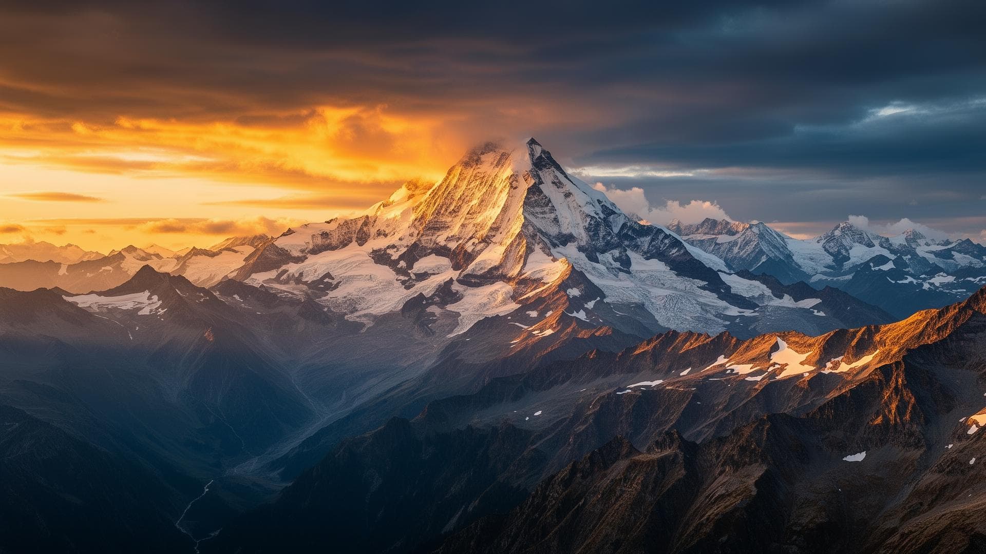
The Tour du Mont Blanc (TMB) is a roughly 170 km multi-day hiking route with about 10,000 m of combined elevation gain, circling the Mont Blanc massif through France, Italy and Switzerland. Unlike the Mont Blanc summit ascent, it never reaches the top; unlike the UTMB, it's a multi-day hike, not a race.
Written by Victor Michel — history enthusiast and passionate alpinist based in Chamonix. Published July 16, 2026 · Updated September 8, 2026 · 11 min read
Key takeaways
- 170 km, roughly 10,000 m of combined ascent and descent, 3 countries crossed
- Duration: from 7 days (fast pace, about 25 km/day) to 10-11 days (relaxed pace, about 16 km/day)
- Best season: late June to early September, clear trails and open refuges
- Refuge lodging: €40 to €70 for a half-board dorm bed, €80 to €120 for a private room
Technical data
- Starting pointLes Houches, Chamonix valley — counterclockwise (France → Italy → Switzerland → France)
- Total distance≈ 170 km (full loop)
- Cumulative elevation≈ 10,000 m gain and loss
- Duration7 days (fast pace, ≈ 25 km/day) to 10-11 days (leisurely pace, ≈ 15-16 km/day)
- Highest point on routeGrand Col Ferret (2,537 m) — up to 2,665 m via the Fenêtre d'Arpette variant
- Countries crossedFrance, Italy, Switzerland
- AccommodationRefuges and gîtes, hut to hut — €40 to €70 half-board dorm bed, €80 to €120 private room
- Total indicative budget€400 to €1,200 independent, €595 to €1,250 guided (excluding travel to the start)
- Best seasonLate June to early September
Route, stages and variants
What is the Tour du Mont Blanc?
The TMB is a long-distance trail that circles the Mont Blanc massif without ever reaching the summit, unlike the Goûter or Trois Monts ascent routes. It should also not be confused with the UTMB: the latter is a timed foot race held in late August on a similar route, while the TMB is walked at your own pace over several days, with nights in mountain refuges.
The table below compares the three formats on the criteria that matter for choosing between them.
| Criterion | Tour du Mont Blanc (TMB) | Mont Blanc ascent | UTMB |
|---|---|---|---|
| Nature | Multi-day hiking trek | Technical mountaineering to the summit | Timed foot race |
| Summit reached | No, the massif is circled | Yes, 4,805.59 m (IGN 2021) | No, the massif is circled |
| Distance | 170 km | Varies by route chosen | 174 km |
| Elevation gain | ≈ 10,000 m combined (up + down) | Vertical ascent, not comparable in distance | 9,900 m D+ |
| Duration | 7 to 11 days, nights in refuges | 2 to 3 days depending on the route | Continuous race, no scheduled stages |
| Gear | Hiking boots, poles | Crampons, ice axe, roped travel | Race mandatory gear, pack, water reserve |
| Best season | Late June to early September | Mid-June to mid-September | Late August (race dates) |
| Who it's for | Hikers with no technical gear | Mountaineers or trained hikers aiming for the summit | Runners qualified for a timed race |
In short: the TMB suits a hiker who wants to explore the massif with no technical gear, the ascent suits those aiming for the summit with alpine preparation, and the UTMB suits a runner qualified for a timed race on a similar route.
Route: the classic 7-day stages
The classic start is at Les Houches, hiked counter-clockwise through Italy then Switzerland before returning to France. The table below details the fast 7-day version; most hikers prefer a more relaxed 9 to 11-day pace, with shorter 15-20 km daily stages.
| Day | Stage | Distance | Elevation gain | Overnight |
|---|---|---|---|---|
| 1 | Les Houches → Refuge de la Balme | 25 km | +1,483 m | Refuge de la Balme |
| 2 | Refuge de la Balme → Refuge des Mottets | 16 km | +1,069 m | Refuge des Mottets |
| 3 | Refuge des Mottets → Courmayeur (Italy) | 24 km | +1,155 m | Hotels in Courmayeur |
| 4 | Courmayeur → Refuge Elena | 19 km | +1,459 m | Refuge Elena |
| 5 | Refuge Elena → Champex (Switzerland) | 28 km | +1,219 m | Relais de l'Arpette |
| 6 | Champex → Tré-le-Champ | 26 km | +1,560 m | Auberge de la Boerne |
| 7 | Tré-le-Champ → Les Houches | 27 km | +1,893 m | Les Houches / Chamonix |
Fast 7-day version (about 25 km/day). Most hikers spread this same route over 9 to 11 days, with shorter stages.
The iconic passes of the tour
The Col de la Seigne (2,516 m) marks the crossing from France into Italy, with views over the Val Veny ridges. The Grand Col Ferret (2,537 m) opens the route into Switzerland, with an exceptional panorama over the entire Mont Blanc massif.
The Swiss stage: Grand Col Ferret, La Fouly and Champex-Lac
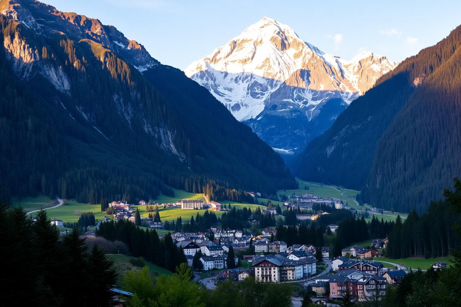
From the Grand Col Ferret, the route crosses from the Italian Val Ferret into the Swiss Val Ferret and reaches La Fouly (1,600 m, canton of Valais), a village facing the A Neuve glacier and the Dolent and Tour Noir peaks — this is the classic 6th stage of the TMB, from the Walter Bonatti refuge to La Fouly, with a view of the Pré-de-Bar glacier along the way. On stage 5 of the table above (Refuge Elena → Champex, 28 km), La Fouly marks this turning point before the climb to Champex-Lac (1,500 m, lake at 1,470 m, commune of Orsières), a resort nestled between Mont Catogne (2,598 m) and the Breya (2,200 m). Developed as a tourist stop in the early 20th century and locally nicknamed the "little Swiss Canada" for its forests and chalets, Champex-Lac is the iconic stage three-quarters of the way through the route, the starting point for the Val d'Arpette or Bovine pass route toward Tré-le-Champ.
Refuges and lodging
The tour is walked from refuge to refuge, with a half-board night generally costing between €40 and €70 in a dorm, and €80 to €120 in a private room where available.
Booking refuges ahead is essential in high season (July–August): the busiest stages sell out several weeks in advance. Booking as soon as your trek dates are set means you won't have to change your route along the way.
What is the best time to hike the Tour du Mont Blanc?
The optimal window runs from late June to early September, when the passes are generally free of snow and all refuges along the route are open and staffed. Outside this window, some high-altitude sections can remain snow-covered and require suitable gear.
Frequently asked questions
Going further
Safety: Conditions in the high mountains change rapidly. The information on this page replaces neither the judgement of a high-mountain guide, nor weather bulletins, nor official information from huts and mountain safety organisations.