Safety & prevention
La Chamoniarde — Sécurité Mont Blanc
A major prevention resource on the Mont Blanc ascent: the classic routes, objective hazards, high-mountain conditions and the questions to ask yourself before an attempt.
View resource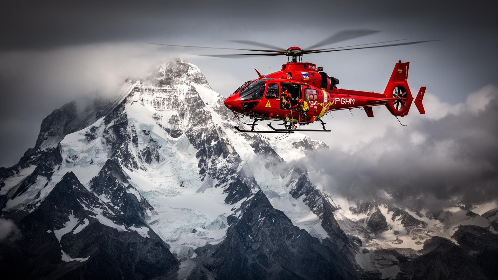
Written by Victor Michel — history enthusiast and passionate alpinist based in Chamonix. Published May 10, 2026 · Updated August 30, 2026 · 4 min read
Weather is one of the most decisive factors in a Mont Blanc ascent. A fine day in the valley does not guarantee good conditions at the summit. Wind, wind chill, the 0°C freezing level, overnight refreeze, fresh snow and visibility must all be assessed before any decision.
80–100 km/h
Wind at the summit, peaks in high summer
PGHM Chamonix
−25 to −35 °C
Wind-chill temperature at the summit in strong wind, in summer
PGHM Chamonix
48 h
Recommended minimum stable weather window before setting off
PGHM Chamonix / ENSA
Above 4,000 m, wind can severely slow progress, unbalance a roped party and sharply increase wind chill. Strong wind can turn a technically accessible route into a highly exposed situation.
Ce que le bulletin ne dit pas
Wind forecast as moderate in the valley can be markedly stronger on an exposed ridge or arête, as the flow accelerates over the terrain. A reassuring valley forecast says nothing about the actual wind on the most exposed sections of the route.
A high freezing level favors thaw, rockfall and the degradation of snow bridges.
0°C freezing level — The altitude at which air temperature drops below 0°C.
A good refreeze can temporarily stabilize snow and certain passages. A poor refreeze increases the risk of soft snow, weakened snow bridges and rockfall.
Overnight refreeze — The re-freezing of snow and ice softened by daytime heat, driven by the temperature drop after sunset.
Storms are particularly dangerous at altitude. Visibility drops, cold intensifies, lightning becomes a risk and progress can become confused.
A storm that appears to be forming far away, over another summit in the massif, can reach Mont Blanc very quickly. Don't wait to see it directly overhead before turning back — rapid cloud development or distant thunder is enough to trigger a descent.
Chamonix, Saint-Gervais or Courmayeur do not reflect the actual conditions at the summit. Mountain forecasts must be checked and cross-referenced from multiple sources.
Each side of Mont Blanc has its own reference weather source and, for two of them, a live webcam — full list on the webcams page.
| Side | Webcam | Weather/conditions source |
|---|---|---|
| Goûter / Saint-Gervais (France) | No dedicated webcam | Météo-France massif 74, OHM Chamonix |
| Chamonix / Trois Monts (France) | Aiguille du Midi (3,842 m) | Météo-France massif 74, OHM Chamonix |
| North / Grands Mulets / Bossons (France) | No dedicated webcam | Météo-France massif 74, OHM Chamonix |
| Italian / Val Veny / Gonella (Italy) | Punta Helbronner / Skyway Monte Bianco (3,462 m) | Fondazione Montagna Sicura, Aosta Valley AINEVA bulletin |
| Brenva (Italy) | No dedicated webcam | Fondazione Montagna Sicura, Aosta Valley AINEVA bulletin |
| Brouillard / Frêney (Italy) | No dedicated webcam | Fondazione Montagna Sicura, Aosta Valley AINEVA bulletin |
| Miage / Bionnassay (France) | No dedicated webcam | Météo-France massif 74, OHM Chamonix |
| Peuterey (Italy) | No dedicated webcam | Fondazione Montagna Sicura, Aosta Valley AINEVA bulletin |
A multi-step check, not a single forecast read once.
Does Chamonix's weather reflect the weather at the Mont Blanc summit?
No: Chamonix sits at 1,035 m and the summit at 4,805.59 m, with differences in wind, temperature and visibility that can be radical between the two. Only a dedicated mountain forecast gives the real picture at altitude.
What does a poor overnight refreeze mean for the day ahead?
That the snow hasn't hardened enough overnight: weakened snow bridges, soft snow and a higher risk of rockfall. It's a signal to slow the pace or postpone the attempt.
What should you do if a storm forms during the ascent?
Descend or reach shelter without waiting to see it directly overhead: lightning and loss of visibility can make progress dangerous within minutes.
Is wind more dangerous than cold on Mont Blanc?
The two combine: wind sharply increases the feeling of cold at altitude, which can make an otherwise bearable temperature dangerous within minutes. It's the combination that matters, not either factor alone.
Should you turn back if the weather deteriorates after leaving the refuge?
Yes, as soon as the deterioration is confirmed by several concurring signs — strengthening wind, dropping visibility, a forming storm. Better to descend early than manage a confirmed deterioration above 4,000 m.
Can you use a general-purpose weather app for Mont Blanc?
Not on its own: general-purpose apps don't distinguish the summit's exact altitude or mountain-specific phenomena (freezing level, refreeze, ridge acceleration). They can supplement a dedicated mountain forecast, never replace it.
What's the difference between the 0°C freezing level and overnight refreeze?
The 0°C freezing level is an altitude, the one at which air drops below zero. Overnight refreeze is a time-based phenomenon, the hardening of snow during the night. The two are linked: a high freezing level often limits the quality of the refreeze that follows.
Safety & prevention
A major prevention resource on the Mont Blanc ascent: the classic routes, objective hazards, high-mountain conditions and the questions to ask yourself before an attempt.
View resourceWeather & conditions
Mountain weather resource to check before any climb.
View resourceWeather & conditions
La Chamoniarde's observatory of mountain conditions.
View resourceWeather & conditions
Snow and avalanche bulletin (AINEVA network) for the Italian side, Aosta Valley.
View resource