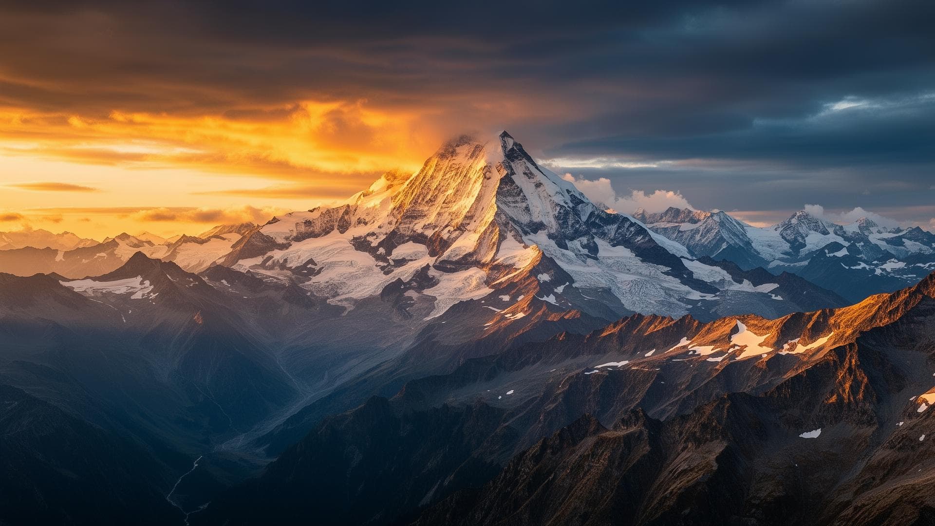
Who owns the summit of Mont Blanc? The Franco-Italian border in question
Written by Victor Michel — history enthusiast and passionate alpinist based in Chamonix. Published September 14, 2026 · 9 min read
No international text settles the question: IGN maps place the summit of Mont Blanc entirely in France, while those of the Italian Istituto Geografico Militare cut it in two along the watershed. Both readings rest on the same documents, the Treaty of Turin of 24 March 1860 and the delimitation papers of 1861-1862, whose interpretation has diverged since 1865.
Key takeaways
- The Treaty of Turin of 24 March 1860 fixes no line at the summit: its Article 3 entrusts this work to a joint commission.
- IGN maps: the border skirts the summit cap to the south, and the summit (4,805.59 m) is entirely French.
- IGM maps: the border follows the watershed, and the summit is shared between the two states.
- The divergence stems from the General Staff map drawn up in 1865 by Captain Jean-Joseph Mieulet.
- Since 2018, swisstopo has hatched the area on its maps and shows it as disputed territory.
- Nothing is marked on the ground: the question changes nothing about the climb, but everything about which authority is competent.
Who owns the summit of Mont Blanc?
Two official answers coexist, and no body has arbitrated between them. For France, the summit lies entirely within its territory, between the communes of Saint-Gervais-les-Bains and Chamonix-Mont-Blanc. For Italy, the border runs over the summit itself, which is therefore shared and falls half within the commune of Courmayeur, in the Aosta Valley. Both states rely on the same nineteenth-century treaties and draw different lines from them: the contradiction is cartographic and legal, and has never been resolved by a joint decision.
What the 1860 Treaty of Turin says, and does not say
The Treaty of Turin signed on 24 March 1860 attaches Savoy and the County of Nice to France, but describes no precise line in the high mountains. Its Article 3 merely refers the question to a body yet to be created: "A joint commission will determine, in a spirit of equity, the borders of the two states, taking into account the configuration of the mountains and the necessity of defence." This is where all the later ambiguity lies. The founding text does not say where the border runs at Mont Blanc; it says who will have to say so, and by which criteria. These two criteria, the configuration of the terrain and the defensive imperative, do not necessarily point to the same line.
The 1861 delimitation convention and the 1862 minutes
The delimitation convention signed in Turin on 7 March 1861 repeats the wording of the earlier protocol: the new border follows the limit that then separated the Duchy of Savoy from Piedmont. It gives no detail at the summit. The boundary-marking minutes of 26 September 1862, ratified by both governments, complete the work: the commissioners look for the important passes where markers should be placed, thirteen in all, and note that the border follows a course from summit to summit. Neither the convention nor the minutes mark out the high mountains, which by nature cannot be marked. Everything therefore rests on the maps annexed to them, drawn at 1/50,000. On these maps, the line is traced at a scale where a few tenths of a millimetre equal several tens of metres on the ground. Italian readers see a line passing over the summit; French readers see a line passing below it, several tens to several hundred metres lower.
1865: the Mieulet map and the disputed triangle
The current French line first appears on the General Staff map drawn up in 1865 by Captain Jean-Joseph Mieulet, cartographer of the French army, who had climbed Mont Blanc on 14 July 1863 to survey the massif. His map makes the border skirt the summit glaciers to the south and places the summit entirely in French territory, where the maps annexed to the treaties followed the ridge. The result is a strip of land claimed by France and regarded as Italian by Italy: the triangle extending from the summit to Mont Blanc de Courmayeur (4,748 m), taking in the Rocher de la Tournette (4,677 m). It is this triangle, and not the summit alone, that forms the material object of the disagreement.
IGN, IGM, swisstopo: three maps, two borders
Each national institute reproduces its own state's reading, without telling the reader that another exists. The IGN follows the Mieulet line: summit and Col Major French, Mont Blanc de Courmayeur shown as a border summit. The Istituto Geografico Militare strictly follows the watershed: summit shared, Mont Blanc de Courmayeur entirely Italian. The most revealing contrast comes from a third party: Switzerland long reproduced the French version on its maps, before swisstopo switched in 2018 to a hatched display signalling a status of disputed territory. It is the only one of the three official cartographies to explicitly acknowledge the dispute.
Saint-Gervais, Chamonix, Courmayeur: the administrative position of the communes
On the French side, the communal division derives from a prefectural order of Haute-Savoie dated 21 September 1946, which divides the area of the Dôme du Goûter and Mont Blanc between Saint-Gervais-les-Bains, Chamonix-Mont-Blanc and Les Houches. This order adopts the interpretation placing the summit entirely in France and divides it between Saint-Gervais and Chamonix, the boundary between the two communes following the Goûter and Bosses ridge. A little-known consequence: Saint-Gervais-les-Bains ends up holding an exclave on the glaciated southern slope of the summit cap, a scrap of territory detached from the rest of the commune. The local urban plan adopted by Saint-Gervais in 2016 itself acknowledges that this exclave lies on the Italian side of the border as delimited in 1860. On the Italian side, the summit belongs to Courmayeur, in the Aosta Valley.
A diplomatic file left open, never closed
A joint Franco-Italian delimitation commission has met since 20 April 1988 in Nice. At its meeting of 24 March 1995 in Paris, it notes that the disagreement over Mont Blanc exceeds its technical remit and must go up to the foreign affairs ministries. In July 1995, the Italian authorities forward a memorandum setting out their reading; at the meeting of 6 June 1996 in Sanremo, France acknowledges that a difference of interpretation exists. The document exchange that follows says everything about the state of the file: since the French copies of the 1860 annexed maps disappeared during the German occupation, it is Italy that supplies a certified true copy of the treaty annex, with France sending back a 1930 photograph of the lost documents. No agreement has been signed since.
What this changes for the climber: nothing on the ground, everything on paper
On the summit ridge, the question is invisible: no marker, no sign, no check, no entry or exit formality. A rope team climbing by the Goûter route and crossing into Italy passes nothing physical. The disagreement becomes concrete as soon as an authority has to be designated. Rescue falls to two distinct public services, the PGHM on the French side and the Aosta Valley alpine rescue on the Italian side, whose competence is determined by the state on whose territory the accident occurs: at the summit itself, that determination depends on which map is adopted. The same logic applies to administrative police: a mayor's police power stops at the limits of their commune, so a municipal order from Saint-Gervais-les-Bains applies to the summit cap only under the French reading. In practice, cross-border cooperation handles real cases without waiting for the law; but the climber who wants to know which regulations apply at the summit has, to this day, no single answer.
The summit according to the three official cartographies
Comparison of the lines published by the French, Italian and Swiss national geographic institutes.
| Institute | Line at the summit | Mont Blanc de Courmayeur | Dispute flagged to the reader |
|---|---|---|---|
| IGN (France) | Skirts the summit cap to the south, following the 1865 Mieulet line: summit entirely French | Shown as a border summit | No |
| IGM (Italy) | Follows the watershed: summit shared between the two states | Shown as entirely Italian | No |
| swisstopo (Switzerland) | Reproduced the French version from 1963 to 2013 | Not specified | Yes, by hatching since 2018 |
Sources and resources

Read next
FAQ
Who owns the summit of Mont Blanc, France or Italy?
Both states claim it, based on different readings of the 1860-1862 treaties: France considers it entirely its own, Italy holds it to be shared. No joint decision has settled the matter.
Why do French and Italian maps of Mont Blanc not show the same border?
The IGN follows the line of the 1865 General Staff map, which skirts the summit cap to the south; the IGM follows the watershed, which runs over the summit.
What does the 1860 Treaty of Turin say about the border at the summit of Mont Blanc?
Nothing precise: its Article 3 entrusts the determination of the borders to a joint commission, "in a spirit of equity", taking into account the configuration of the mountains and the necessity of defence.
Which commune is the summit of Mont Blanc in?
According to the prefectural order of 21 September 1946, it is shared between Saint-Gervais-les-Bains and Chamonix-Mont-Blanc; the Italian reading assigns its southern half to Courmayeur.
Has the Mont Blanc border dispute been settled?
No. The joint Franco-Italian commission referred the file to the foreign affairs ministries in March 1995, and no agreement has been signed since.
Is the border visible on the ground at the summit of Mont Blanc?
No: there is no marker or marking on the summit ridge, and crossing from one slope to the other involves no formality.
Who responds to an accident at the summit of Mont Blanc, French or Italian rescuers?
Two public services share the massif: the PGHM on the French side, the Aosta Valley alpine rescue on the Italian side. Competence follows the territory, and therefore the map adopted.
What is the disputed triangle of Mont Blanc?
The strip of land between the summit and Mont Blanc de Courmayeur (4,748 m), including the Rocher de la Tournette (4,677 m), shown as French by the IGN and as Italian by the IGM.
Key takeaways
- ·The disagreement concerns not a point but an area: the triangle running from the summit to Mont Blanc de Courmayeur, Rocher de la Tournette included.
- ·Article 3 of the 1860 treaty sets two delimitation criteria, the configuration of the mountains and the necessity of defence, which do not necessarily designate the same line.
- ·The boundary-marking minutes of 26 September 1862 place only thirteen markers, all at passes: the high mountains remain delimited solely by the annexed 1/50,000 map.
- ·In 2016, the local urban plan of Saint-Gervais-les-Bains acknowledges that its southern-slope exclave lies on the Italian side of the 1860 delimitation.
- ·swisstopo is the only one of the three national cartographies to flag the dispute to the reader, through hatching adopted in 2018.
- ·The French copies of the 1860 annexed maps disappeared during the German occupation; it was Italy that supplied a certified true copy during the joint commission's work.